

Services
Telecoms Asset Mapping
Gain complete visibility of your critical assets.
Unverified assets lead to costly delays. At Novegen, we survey, locate, and map your physical infrastructure, turning fragmented records into a single, authoritative GIS source of truth.
Local authorities, transport agencies and telecom operators often manage vast underground and vertical networks where asset data is fragmented across legacy paper records, siloed spreadsheets, and CAD drawings. Novegen delivers comprehensive telecoms asset mapping services, converting fragmented historical data and physical field assets into an accurate GIS single source of truth.
Scope of Mapping
Underground Infrastructure
Primary ducts, sub-conduits, microduct arrays, directional boring, and multi-utility trenching.
Access Points & Hubs
Manholes, jointing chambers, pull pits, and network nodes, including detailed structural integrity assessments.
Above-Ground & Aerial Assets
Utility poles, lighting columns, smart city sensors, CCTV masts, and street-level cabinets.
Fibre & Duct Potential
Duct bore usage, dark fibre pathways, spare capacity, and existing cable density.
How we Map
Define Project Scope
We establish project objectives, geographic boundaries, target accuracy tolerances, asset classes, and data delivery specifications alongside your key stakeholders.
Identify Data Inputs
We collect and consolidate existing spatial records, physical schematics, legacy inventories, and CAD drawings across departmental silos.
Analyse, Verify & Prepare for GIS Mapping
Legacy records undergo data cleansing, format standardisation, georeferencing, and conversion into unified spatial layers.
Conduct Information Validation for Surveys
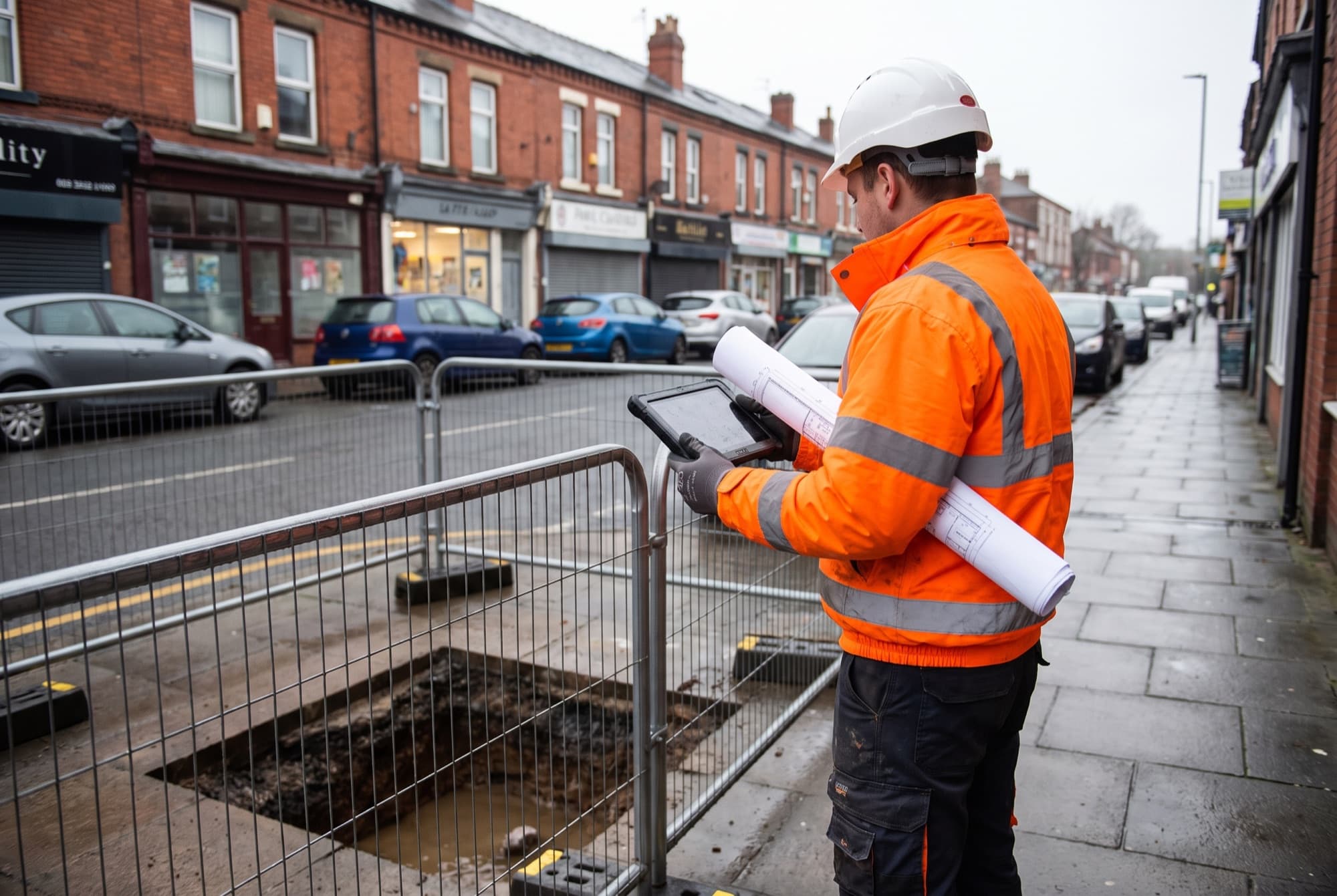
Field teams carry out targeted on-site inspections, duct rodding, and millimetre-precision GPS verification to resolve discrepancies and close historical data gaps.
Present Mapped Information
We deliver dynamic GIS maps, spatial layers, and tailored web dashboards configured for day-to-day engineering, planning, and statutory compliance.
Key Benefits
Commercial Capacity Discovery
Reveal unrecorded duct lines and available vertical space suitable for third-party operator licensing and revenue generation.
Business Continuity & Asset Protection
Eliminate single-person reliance with an open-standard digital twin, preventing utility strikes and speeding up fault restoration.
Targeted Remediation
Detailed survey data highlights silt accumulation, blockages, and structural damage before commencing new network rollouts.
Enterprise GIS Compatibility
Fully compatible with Esri ArcGIS, QGIS, AutoCAD Map 3D, and proprietary client dashboards.
Clients include
DCC, SDCC, DLR, FCC, Dublin Port Company and more.